
Start with the official Viera map—and its disclaimer
The Viera map page links a public master-plan PDF that depicts existing development, future new development, model homes, named roads, residential areas, commercial areas, parks, schools, golf, medical and civic destinations, and Interstate 95. The map's own disclaimer says plans are conceptual, approximate, subject to approvals and market factors, subject to change without notice, and not to scale. Use it to orient a search, not to establish a parcel boundary, completion date, route guarantee, available home, legal obligation, or warranty.
For every finalist, move from the broad map to the exact address. Match the parcel through the Brevard County Property Appraiser, review the current tax bill, identify private associations and public districts separately, request the transaction documents, and test current roads and destinations. Preserve the map or source date used in the comparison because development labels and planned features can change.
Use I-95 as an orientation seam—not a complete East-versus-West answer
The official master-plan map places developed Viera areas on both sides of Interstate 95 and shows Viera Boulevard and Wickham Road crossing the corridor. That makes I-95 a useful first orientation point when someone says Viera East or Viera West. It does not by itself prove the legal identity, mailing city, association, public district, school assignment, tax treatment, flood map, evacuation zone, or services for a specific property.
East and west labels also hide variation within each side. The map shows established residential areas, golf-oriented areas, multifamily housing, town-center and commercial uses, newer neighborhoods, future-development areas, and different access sequences. Compare the actual home, construction era, property type, documents, obligations, lot relationship, and route pattern instead of treating either side as one uniform product.
Read the named corridors as separate route questions
Stadium Parkway, Viera Boulevard, Wickham Road, Lake Andrew Drive, Murrell Road, and Pineda Boulevard appear as distinct local corridors on the public Viera map. Do not convert those names into one area-wide commute estimate. From each finalist, record the local street sequence, turns, access point, destination entrance, departure window, return trip, alternate, and current condition. Florida 511 can add current state-road traffic and incident information, but it cannot guarantee a future trip.
The first local-road segment may matter as much as the regional highway segment. A home can be near I-95 on a broad map while still requiring a different sequence of community exits, signals, turns, or event-related conditions. Test the route at the time it would normally be used and repeat a decision-critical trip before the contractual deadline that gives the result meaning.
Separate Viera's public districts from private associations
The official Viera residents page lists the Central Viera Community Association, Viera East Community Association, Viera East Community Development District, and Viera Stewardship District as separate resources. The Viera East CDD describes itself as a Chapter 190 local, special-purpose government entity. The Viera Stewardship District states that it funds and maintains public infrastructure associated with the planned West Viera development and publishes district information and records.
Those names are orientation—not proof that an exact parcel belongs to a particular entity or owes a particular amount. Obtain the legal description and title information, reconcile the current tax bill and non-ad valorem lines, open the responsible district records, and request every applicable private-association document. Keep governance, assessments, rules, maintenance, amenities, reserves, and transfer questions in separate rows until the documents show how they connect.
Use local destination anchors to test an ordinary week
The official map and destination sources identify anchors such as The Avenue Viera, the Viera Discovery Center at The Avenue, USSSA Space Coast Complex, Duran Golf Club, civic and medical destinations, parks, schools, and commercial areas. These anchors help a relocating buyer build route tests around actual destinations rather than phrases such as centrally located or close to everything.
Verify current hours, access, services, event schedules, eligibility, parking, and the exact entrance directly with the destination. Then rank destinations by the buyer's own frequency: daily, weekly, monthly, occasional, or emergency planning. A nearby amenity does not prove property value, neighborhood quality, future operation, or fit; it simply creates a property-specific logistics question that can be measured.
Translate the map into an East-side property investigation
For a property east of I-95, identify the exact neighborhood and parcel before assuming that a Viera East label answers the governance or ownership questions. Review the relevant private-association material, determine whether the Viera East CDD or another public entity applies, inspect roof and system history, search permits, obtain insurance guidance, and test the route to Murrell Road, Viera Boulevard, Wickham Road, Stadium Parkway, I-95, and the buyer's recurring destinations as applicable.
Established construction changes the evidence path but does not create one universal condition conclusion. Compare installation dates, permits, invoices, warranties, current inspection findings, exterior responsibilities, drainage, lot relationship, reserves, and near-term work. Preserve the records a future buyer or insurer may request rather than treating age or location as a substitute for property evidence.
Translate the map into a West-side property investigation
For a property west of I-95, identify the exact neighborhood, phase, lot, builder or seller, contract type, private association, public district, assessment path, and construction status. The public map shows established West Viera areas as well as newer and future-development areas; a colored plan or neighborhood label does not guarantee that a road, amenity, lot, model, price, incentive, school assignment, or completion date is current.
Compare delivered cost and timing. For builder opportunities, document the base home, lot premium, options, allowances, deposits, financing conditions, inspections, closing requirements, warranty, post-closing work, and possible future builder competition. For resale, investigate condition, permits, warranties, association and district records, current tax and insurance inputs, routes, and what another buyer may need to understand later.
Create one local evidence row for every finalist
Add these columns to the Viera comparison worksheet: official map date, parcel match, east/west orientation, neighborhood or phase, construction path, private association, public district, current tax-bill assessment lines, primary local corridor, alternate corridor, three highest-frequency destinations, tested route dates, and unresolved local fact. Label each entry verified, estimated, unknown, or professional review required.
Carrie Liotta can organize those local Viera inputs into a property comparison and tour. The responsible public authority, association, builder, insurer, inspector, attorney, lender, surveyor, title professional, or other specialist should answer the conclusion assigned to that role. The result is locally specific without turning geography into steering or a promise.
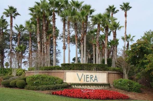
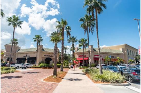
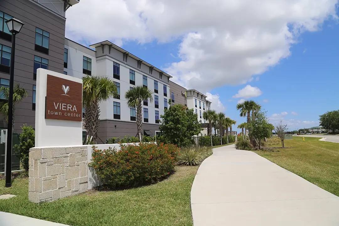
Local Viera image guide
See the local details behind the map

Choose your next guide
Compare Viera East
Investigate established-home condition, private associations, public districts, local routes, obligations, and resale documentation.
Open guide →Compare Viera West
Investigate the exact neighborhood, phase, builder or seller, delivered cost, district and association records, routes, and buildout context.
Open guide →Open the Viera builder and neighborhood roster
Use the dated official roster as orientation, then verify the exact lot, builder entity, contract, parcel, district, association, and availability.
Open guide →Test Viera routes
Compare the same exact-address route, departure window, destination entrance, return trip, and alternate for every finalist.
Open guide →Separate districts and associations
Identify private governance and public district records separately, then reconcile the exact parcel and tax bill.
Open guide →Use the neutral property scorecard
Place local geography beside delivered cost, recurring obligations, condition, contract timing, usability, and resale flexibility.
Open guide →Sources and verification
Last verified August 23, 2026. These links support the verification path. Confirm current, property-specific facts before making a decision.
- Official Viera maps page
- Official Viera master-plan PDF linked by the map page
- Official Viera resident association and district directory
- Viera East Community Development District
- Viera Stewardship District
- The Avenue Viera
- USSSA Space Coast Complex
- Duran Golf Club
- Brevard County Property Appraiser
- Florida 511
Questions this page answers
Does the official Viera map prove a property's legal boundaries?
No. The map is conceptual, approximate, subject to change, and not to scale. Verify the parcel, survey, plat, title, district, association, and transaction documents separately.
Does I-95 completely define Viera East and Viera West?
Use I-95 as broad orientation only. The exact parcel, community records, public district, private association, construction era, routes, and property documents control the real comparison.
Which Viera roads should a relocating buyer test?
Use the roads connected to the exact home and buyer-selected destinations. The public map identifies corridors including Stadium Parkway, Viera Boulevard, Wickham Road, Lake Andrew Drive, Murrell Road, and Pineda Boulevard; not every route applies to every property.
Is a Viera public district the same as an HOA?
No. Public districts and private associations have different authority, records, charges, functions, and documents. Identify and verify every entity attached to the exact parcel.
Can Carrie rank Viera areas for me?
Carrie can help compare exact properties using the buyer's neutral criteria, current records, routes, costs, condition, and obligations. She does not steer or rank communities through protected characteristics or coded substitutes.